Tanis: The Lost City of the Pharaohs
The Lost City of the Pharaohs
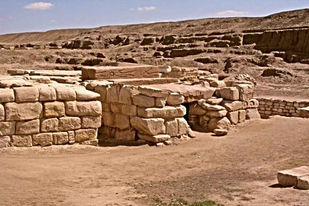
Tanis is located in the Nile Delta among agricultural lands about 103 miles from Cairo. It has been known by many names in the past, as the ancient Egyptians called it Gen, the Hebrews called it Zon, and today it is called San El Hagar.
What happened to Tanis Egypt?
What makes Tanis stan is out are the many fragments of massive rock structures including granite scattered throughout the ancient site, and what really interests visitors is the fact that some of the remains were burned. There is much speculation about why this is the case, for example, many take reference to Dr. Robert Schoch's theory of a solar flare while archaeologists deny it.
Tanis is believed to have been inherited and reused several times according to the artifacts discovered, the earliest dating period of Tanis is set to date back to the Twenty-first Dynasty which lasted from 1069 BC to 945, and was the capital of the Fourteenth Nome of Lower Egypt.
Why is Tanis important?
In the wake of the demise of Ramesses XI (1069 BC) during the final years of the Egyptian 20th Dynasty, Smendes (below), 1069-1043 BC, a former Delta Governor and the high-priest of Amun, annexed lower Egypt and built Tanis as its capital. This was the beginning of the 21st Dynasty, ruled by two royal families (one in northern Tanis and the other in Thebes). After the death of Smendes, several pharaohs seized the throne, including Psusennes I, whose body was found in Tanis at the end of the 21st Dynasty.
The earliest study of Tanis dates back to 1798 during Napoleon Bonaparte's expedition to Egypt by Pierre Jacobin who mapped the ancient site, and it was first excavated in 1825 by Jean-Jacques Rivaud who found two pink granite sphinxes that can be seen in the Louvre Museum. As the 1939 was approaching, a French Egyptologist named Pierre Montet made a fresh discovery in Tanis.
He and his team found a complete set of royal tombs including the tomb of Sheshonq II, which was intact, and four gold funerary masks, a quartzite sarcophagus, silver coffins, alabaster and pieces of jewelry. These artifacts and megalithic structures were excavated 10 to 20 feet underground into what we know today as Tanis.
Additionally, one more exciting fact is the abundance of obelisks on the territory, as opposed to other historical locations in Egypt. These obelisks are said to have been built even before the dynastic era. Some obelisks were also seen with the same burnt pigment, and many of the remains appeared to have faded. Some believe that the obelisks were not used as monumental objects to glorify the power of the pharaohs but instead were actually used as receivers for the energy emitted from an “energy structure” such as the pyramids.
How to get to Tanis
To reach Tanis, you have to take a microbus or an East Delta bus from Cairo to Abboud then to Faqus and from there either take a taxi or a local bus to San El Hagar village. You can also decide to arrange a tour from Cairo. The guide will explain the meaning of hieroglyphs on the ruins.


