Wadi Musa, Jordanie
Wadi Musa was formerly called Elji, derived from the word “refuge,” because people would seek refuge there when conflicts occurred. The valley was also named after the Prophet Moses, son of Imran, peace be upon him, who visited the valley after leaving Egypt with the Children of Israel.
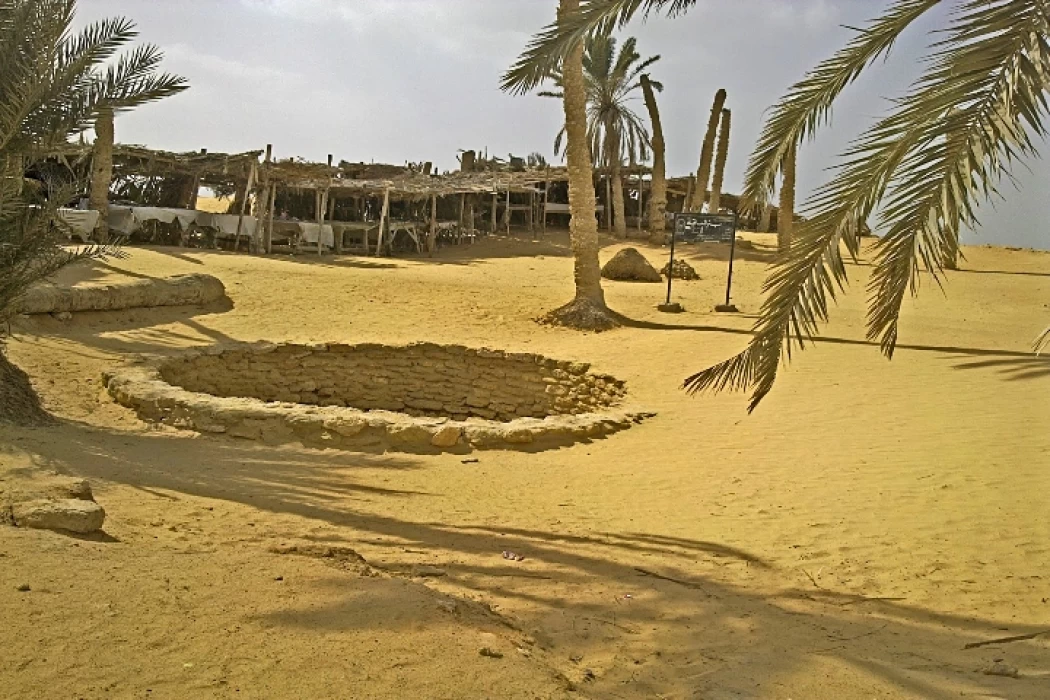
Moses, peace be upon him, knew that his death was approaching, so he took a stone from the valley, fixed it to one of the mountains, then struck the stone with his staff, and twelve springs of water flowed from it, which later became twelve villages, and the stone remains in its place to this day.
Man has inhabited Wadi Musa since the Stone Age, where the Nabataean Kingdom was established. It was subjected to an attempted occupation by the Romans, and was home to many hermits and monks, due to the valley’s religious status. Historical artifacts dating back to the first Abbasid era, the Fatimid era, and the Umayyad era were discovered there.
Wadi Musa witnessed the Islamic conquests, as Abu Ubaidah went with a group of Muslims towards Egypt, passing through Wadi Musa and Shobak. When he approached Aqaba, he met a group of 1,000 knights from Thaqif who were going to Egypt.
The Ottomans were able to control Wadi Musa during the Ottoman rule, and during that period the Liathna Arabs who came from the Hijaz lived there, and they represent the origin of most of the region’s population at the present time.
In 2001, the name of Wadi Musa District was changed to Petra District, as it includes the city of Petra, which is one of the most important historical landmarks in Jordan, and it surrounds it from all sides, and represents its main gate; therefore, Wadi Musa is called the guardian of the rose city.
The establishment of the old scheme of cities can be traced back to the Nabataeans in 400BC, where it was found in the base of the Nabataeans in 312BC and in the rose city thanks to a Swiss national Johann Burckhardt who discovered it in 1812 AD.
The Siq is a 1200 m long, 3-12 m wide and 80 m high rocky fissure. It starts at the dam and ends at the treasury, which represents the main passageway to it. The Siq was formed by nature and man. At the beginning of the passageway, there are remains of an arch that represents the gate of the Rose City.
The right channel is made of clay pipes, and the left channel is carved into the rock and closed with stone slabs. There are also filters to purify the water, and dams to prevent the flow of water strongly. There are Nabataean sculptures on the sides of the Siq that were carved in glorification of the gods at that time.
When the Great Arab Revolt broke out, Prince Faisal launched a military campaign towards Wadi Musa to liberate it from the Ottoman occupation in alliance with the tribes, in addition to achieving a set of goals, which are as follows:
- Besieging the Turkish army entrenched in the city of Ma'an, and preventing the arrival of wood, food and water to it.
- Putting the region under control to continue the revolution towards the city of Shobak.
- Establishing a point of contact with the Allies in Palestine via Wadi Araba, as well as with the Jordanian tribes, to supply the army of the Great Arab Revolt with volunteers.
This happened during the month of October 1917 AD, where the forces were formed of 300 soldiers, a large number of volunteers, two mountain cannons, and four machine guns. The revolutionary forces were able to control the valley after several battles.


