The Toshka Lakes of southern Egypt
The Toshka Lakes of southern Egypt
Toshka Project is one of the most important projects in the modern era. The project was announced on January 9, 1997 as a giant national project, aiming to transfer water from Lake Nasser through a new open canal (Sheikh Zayed Canal) 200 meters wide, about 8 km north of the Toshka spillway canal, through a water pumping station. The new canal will extend in its future expansions from the Toshka area to the Baris Oasis in the Kharga Oasis, from there to the Dakhla Oasis, then head to the Farafra Oasis, after which it will reach the Bahariya Oasis and continue on its way to finally flow into the Qattara Depression.
The Toshka Agricultural Project was planned for implementation over a period of 20 years, starting from 1997 until 2017, at an estimated final cost of 300 billion pounds, to reclaim about 1.5 million acres, with about 500 thousand acres to be reclaimed during the first phase of the project. The project was halted in 2010 due to the small cultivated area and the incomplete lining. In July 2020, the government began completing the Toshka project under the name “Toshka Al-Khair.”
The Toshka El Khair project aims to add a new area to the agricultural area of about 600 thousand acres, which could reach in the future about one million acres irrigated by surface water from the Nile River in addition to the groundwater available in the region, and to establish integrated agricultural and industrial communities based on the exploitation of the raw agricultural materials resulting from the project, then extending to include industries based on local raw materials, mining and energy production.
Among the most important objectives are the establishment of new urban communities to reduce population density in the valley and delta, opening new horizons for work for all levels of employment in the fields of agriculture, industry, trade, and prospecting for minerals and raw materials, and encouraging tourism activity in the region as well as safari tourism, medical tourism, and car rally tourism.
The Toshka area used to include two villages, one east of the Nile (Toshka East) and the other west of the Nile (Toshka West). The residents used Nile boats to move between the two villages. As a result of the construction of the High Dam and Lake Nasser, the residents of the two villages were displaced and given ownership of reclaimed lands near the city of Kom Ombo in Aswan Governorate. Their two new villages were given the same name: Toshka East and Toshka West.
The new city of Toshka was established by Presidential Decree No. 199 of 2000 and its location was amended by Presidential Decree No. 268 of 2006 with the aim of creating an integrated urban community that supports the Toshka agricultural project located northeast of Sheikh Zayed Canal.
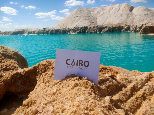
The Toshka Depression is a natural depression in the south of the Western Desert in Egypt that was used to drain excess water into Lake Nasser in order to protect the High Dam from high floods through the spillway canal that was dug starting from Khor Toshka, which branches off from Lake Nasser, and passing through Wadi Toshka in the Western Desert until it connects to the depression at a point of contact called the Toshka waterfalls or spillway, which subsequently led to the formation of what is known as the Toshka Lakes due to the receding of the surplus Nile water in the depression.
Toshka Valley branches off from Lake Nasser to flow into Toshka Valley in the Western Desert. Wadi Kalabsha is located to the west of the Nile River, right past the Egyptian-Sudanese borderline. The geographical region boasts of an expansive natural network of the Nile Delta found in the area under review, which records the second longest Nile drainage system measuring a total of 928.9 km.